Как добраться на общественном транспорте:
from Tbilisi — 160 km
from Batumi — 273 km
from Kutaisi — 130 km
You can get from Tbilisi by bus from Didube metro station, 8 lari ($3/ 200 r), 3 hours on the way.
From Batumi, once a day at 10.00 there is a direct bus from the old bus station (Mayakovsky, 1). On the way 5-6 hours.
Alternative option: drive from Batumi to Khashuri, 4h 30 min. Any minibus or bus going to Tbilisi will do. Get off at the ring in Khashuri and catch a minibus to Borjomi. They go often.
Electric train
The Tbilisi— Borjomi train runs four times a day, 4 hours. Check the schedule on the railway website
Старт:
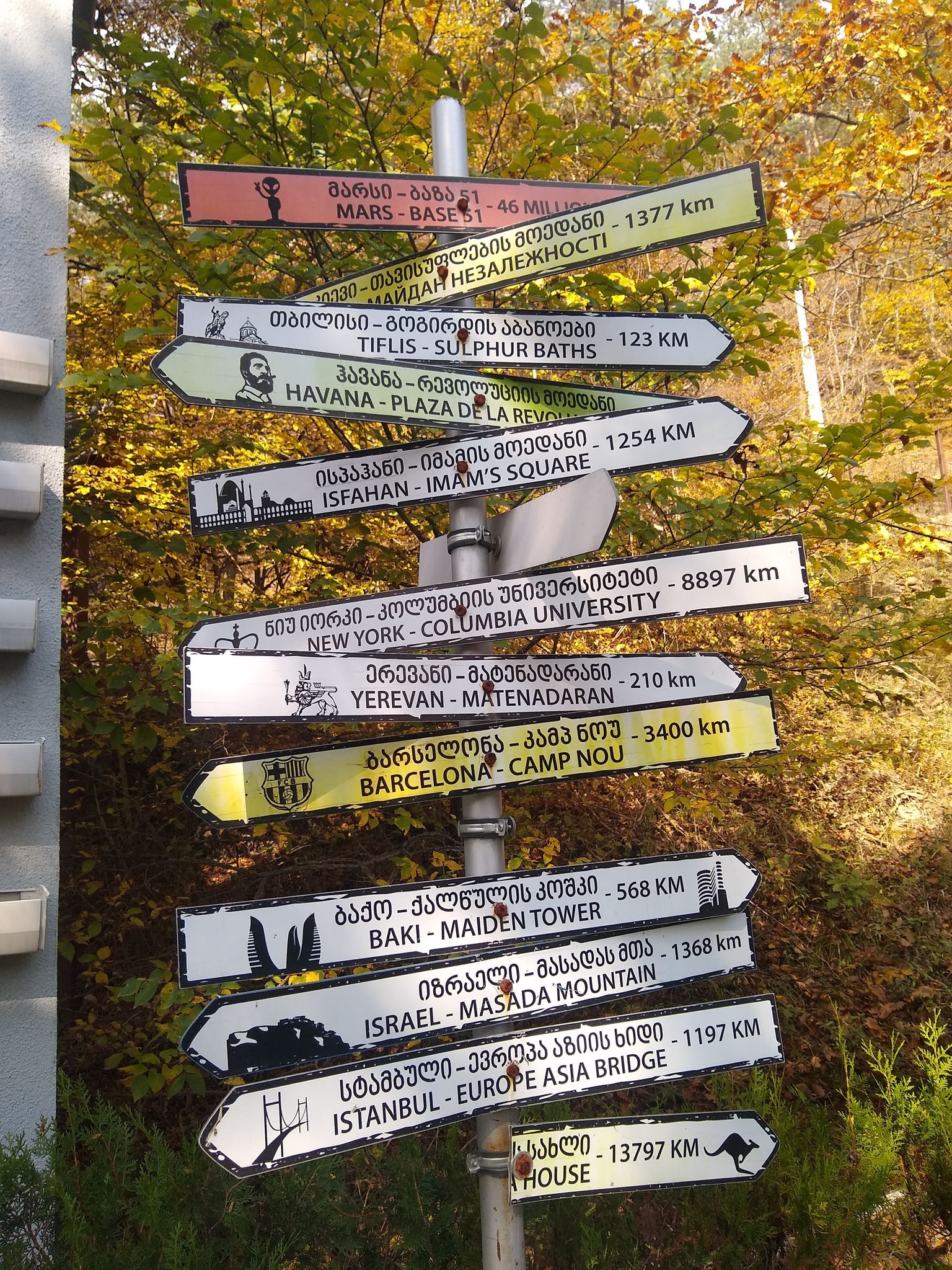
Borjomi
Детали маршрута:
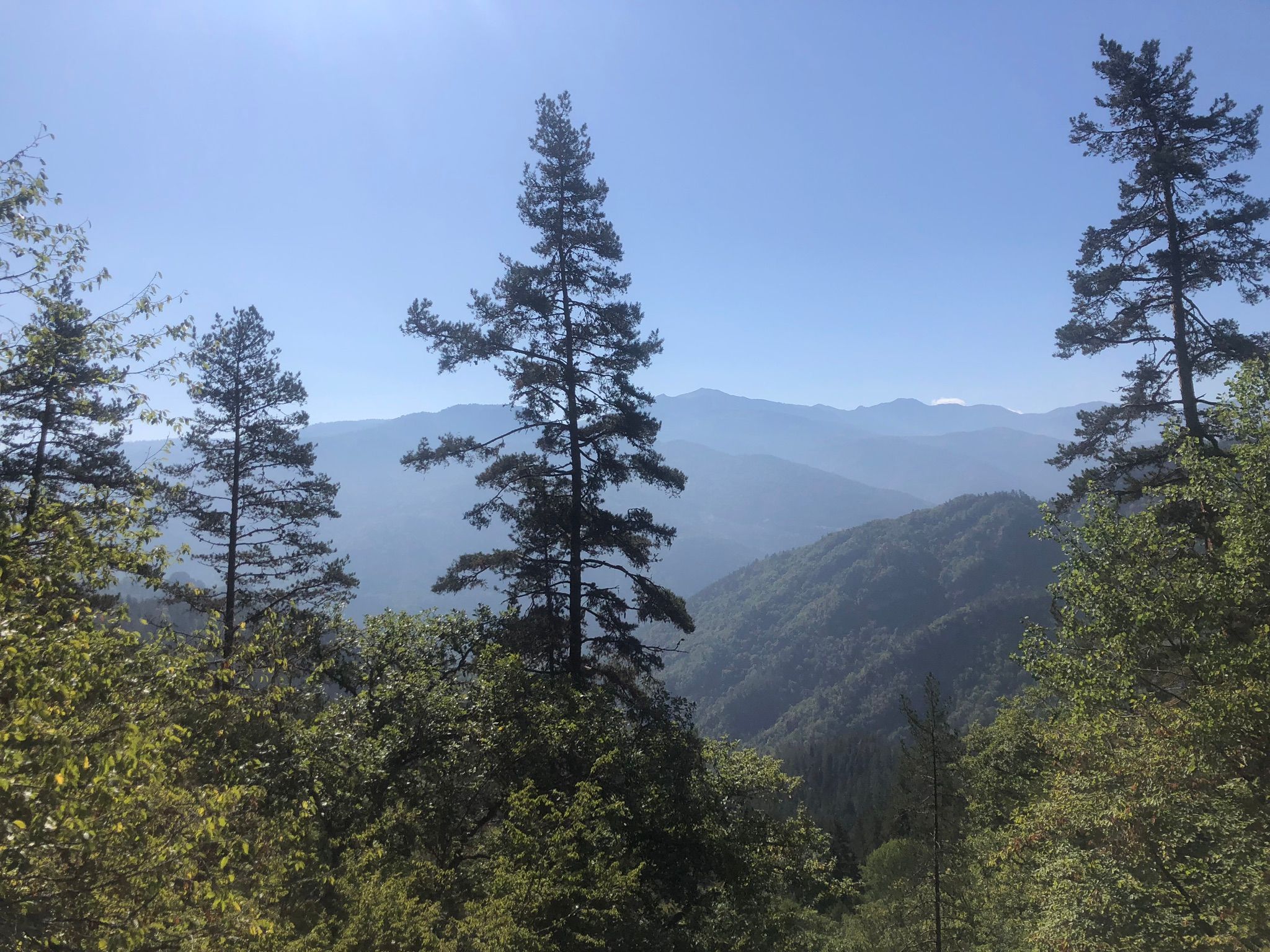
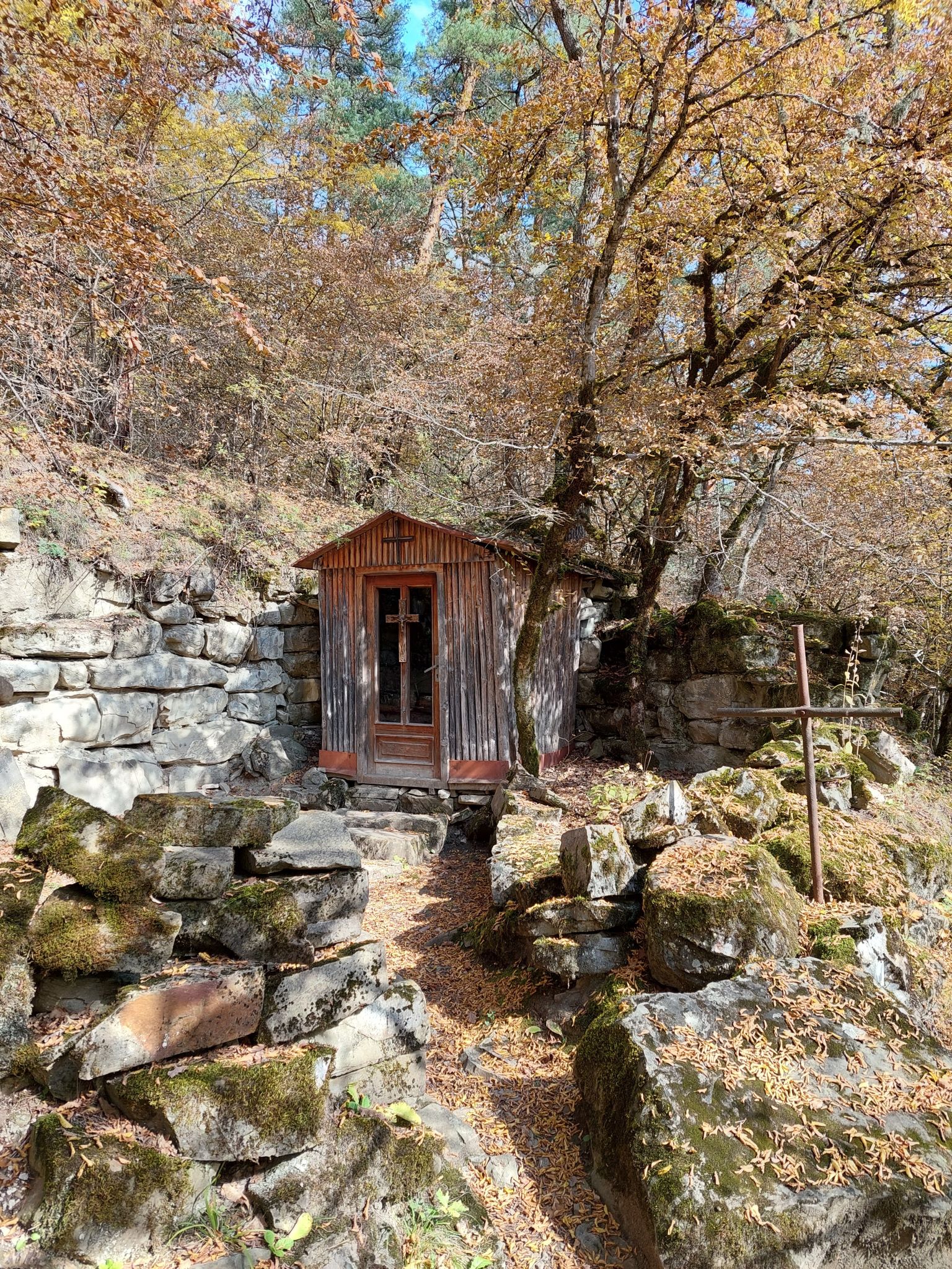
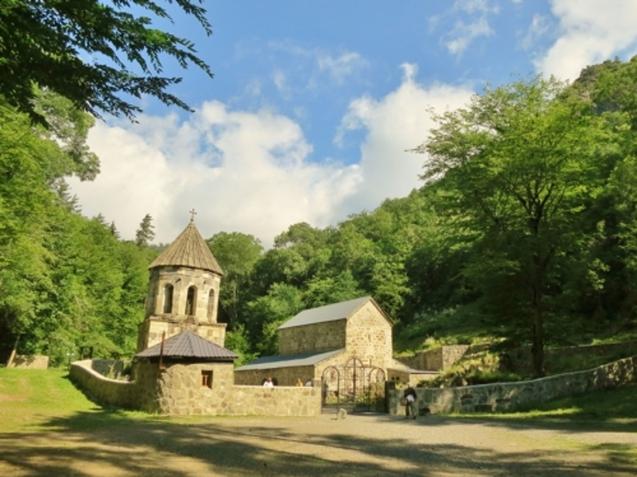
Climb the cross mountain, walk up the Borjomi River, visit the old Church of St. Nina.
The total route is about 20 kilometers, but there are a lot of impressions!
Финиш:
Borjomi
Что взять с собой:
Good shoes, water (several liters), a snack. Sportswear, according to the weather. A detailed description of the equipment is available in the full description of the route
The full route includes a GPS track and photos from places.
Полное описание:
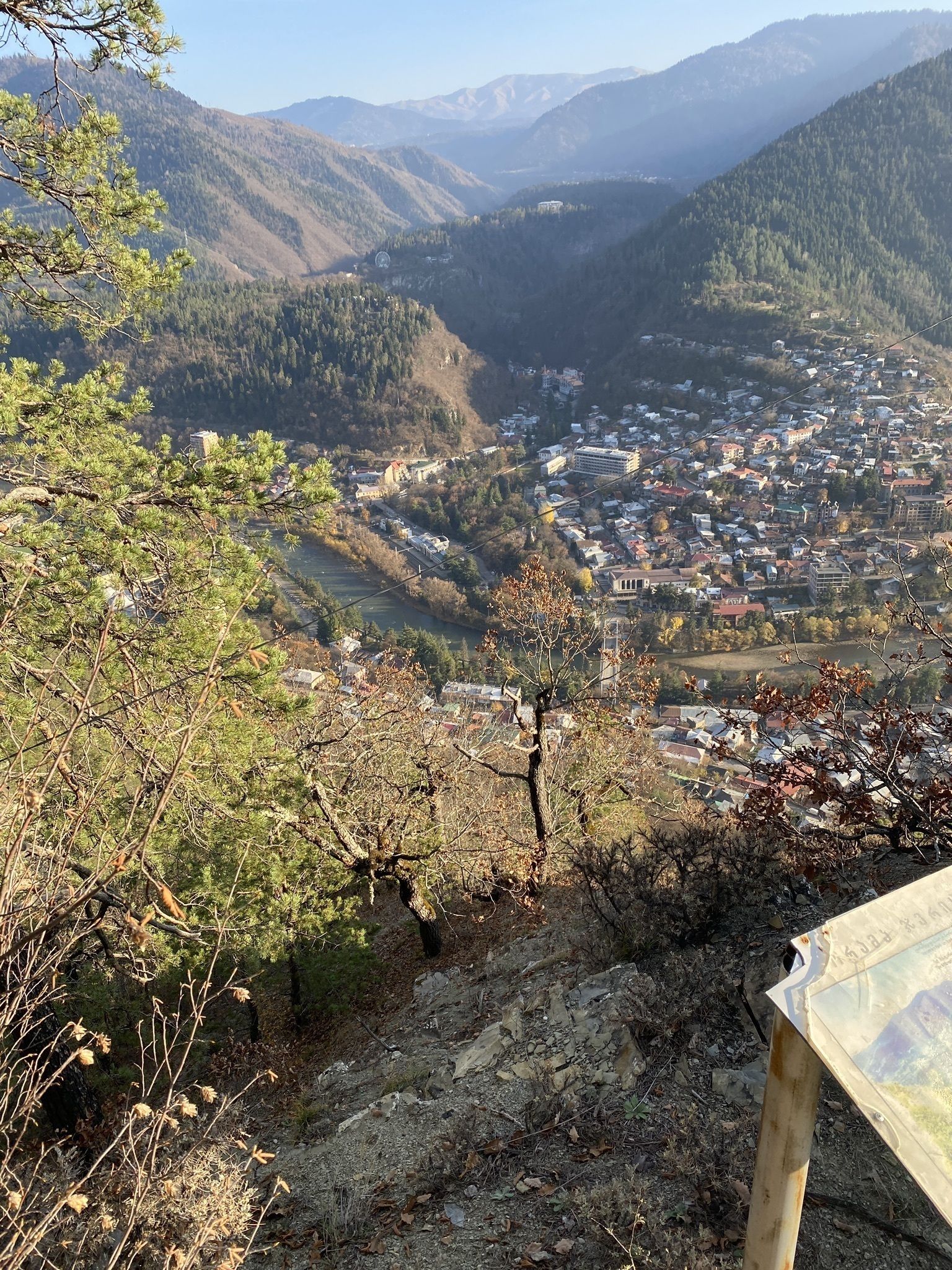
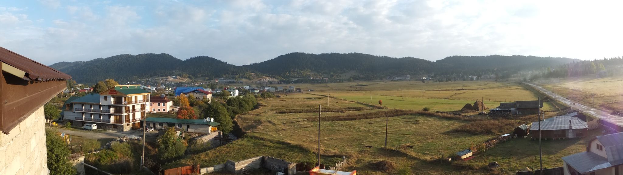
Start in Borjomi near the Panorama Victoria Hotel.
From it we go up to the Cross mountain. Beautiful panoramic view. We go back down. Approximately 3.5 kilometers.
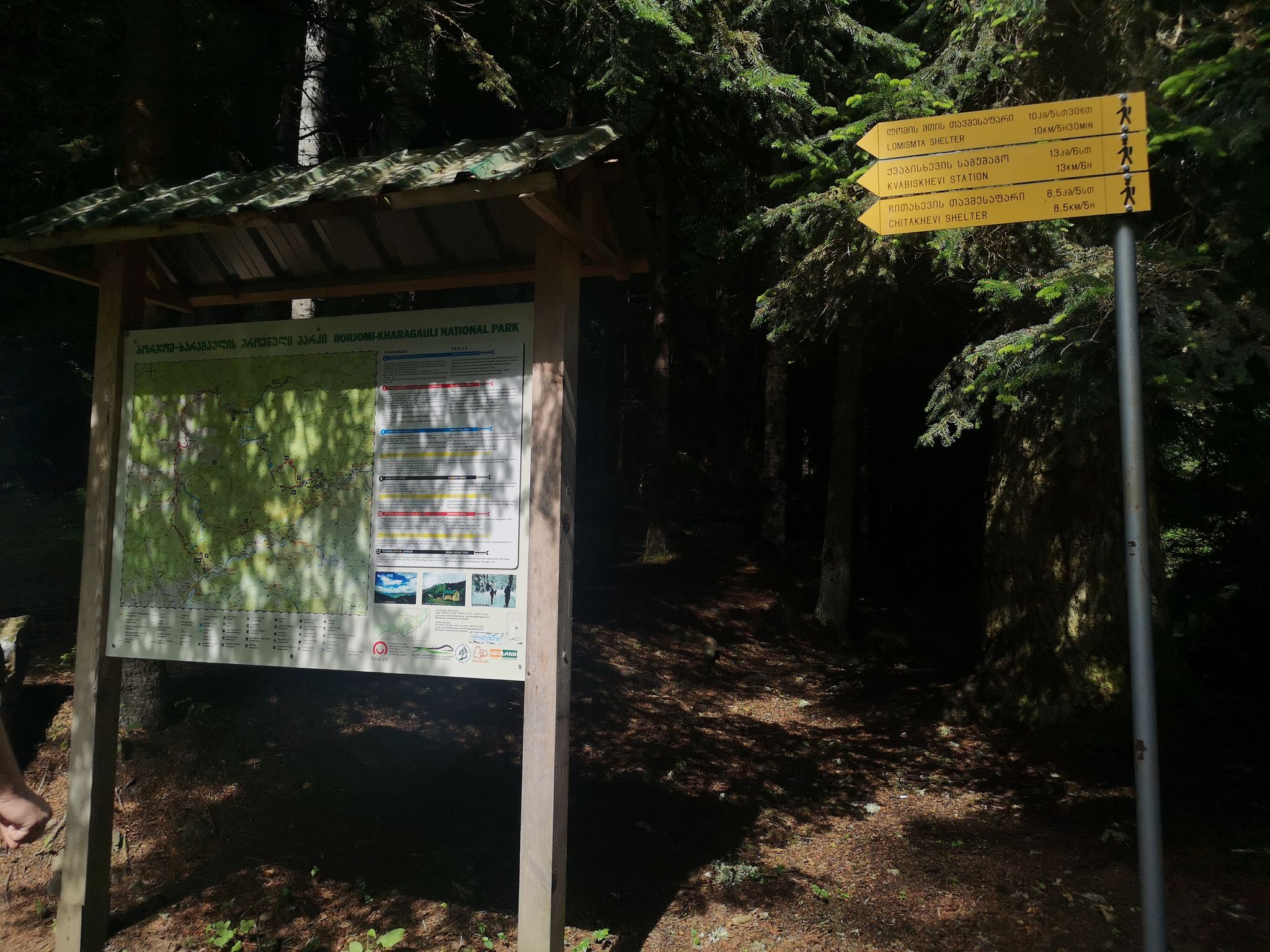
Then we go through the city along the main road Meskheti st to the tourist information center. From there we climb up to the old church of St. Nina and go back down. About 3 kilometers.
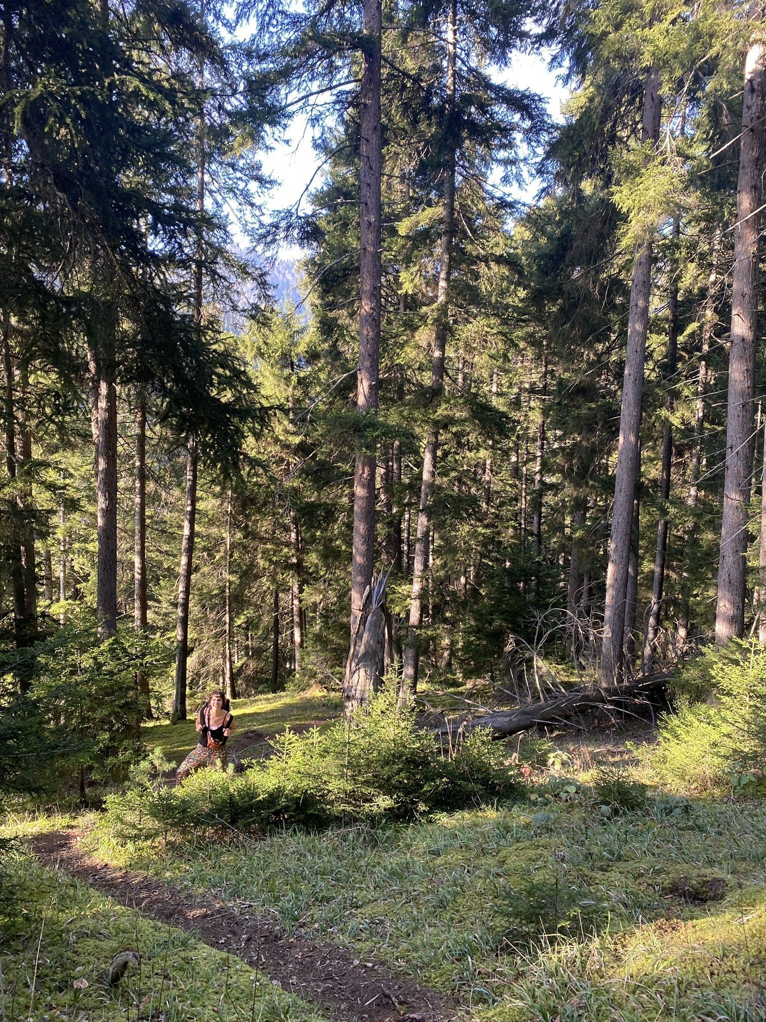
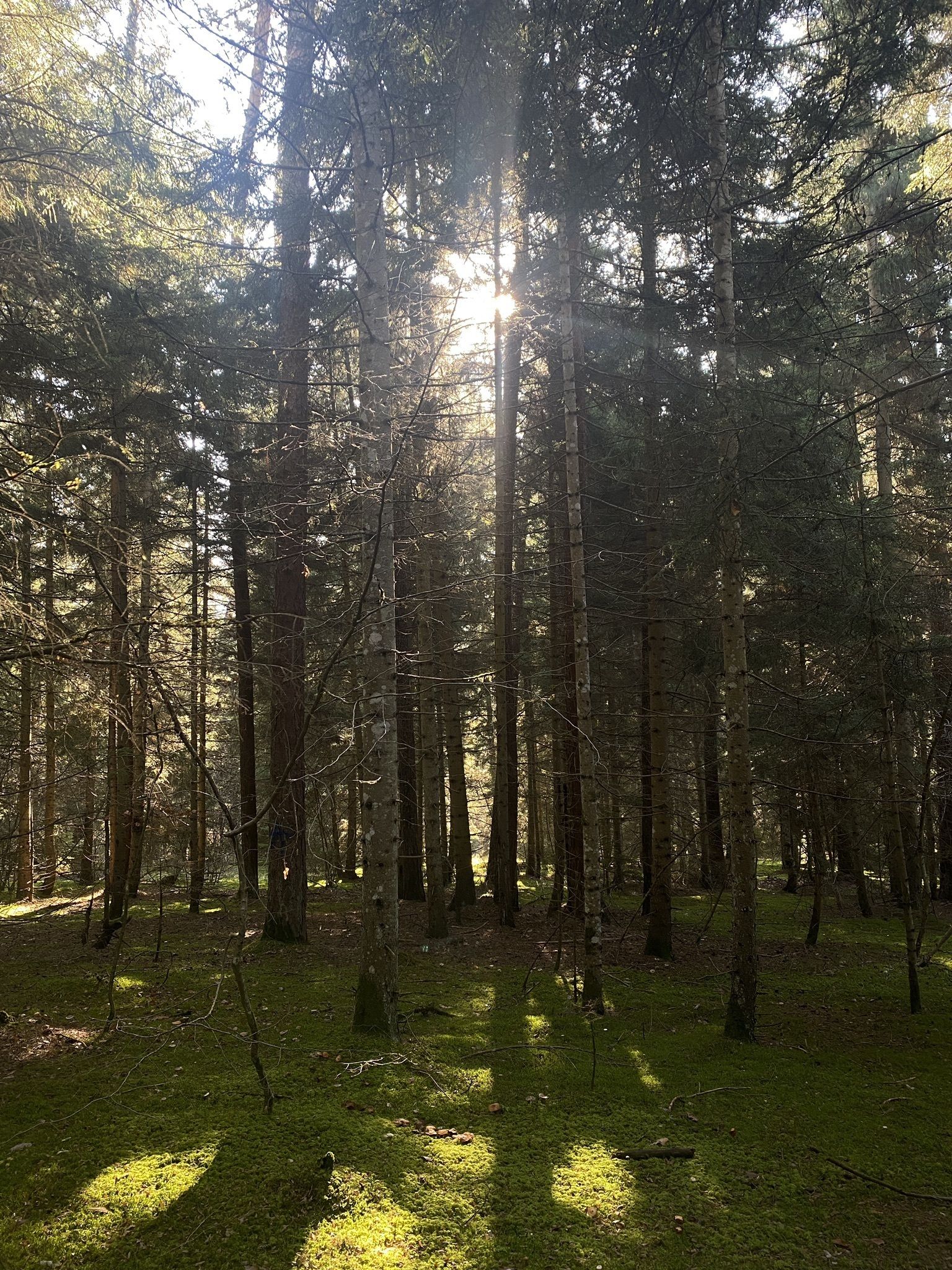
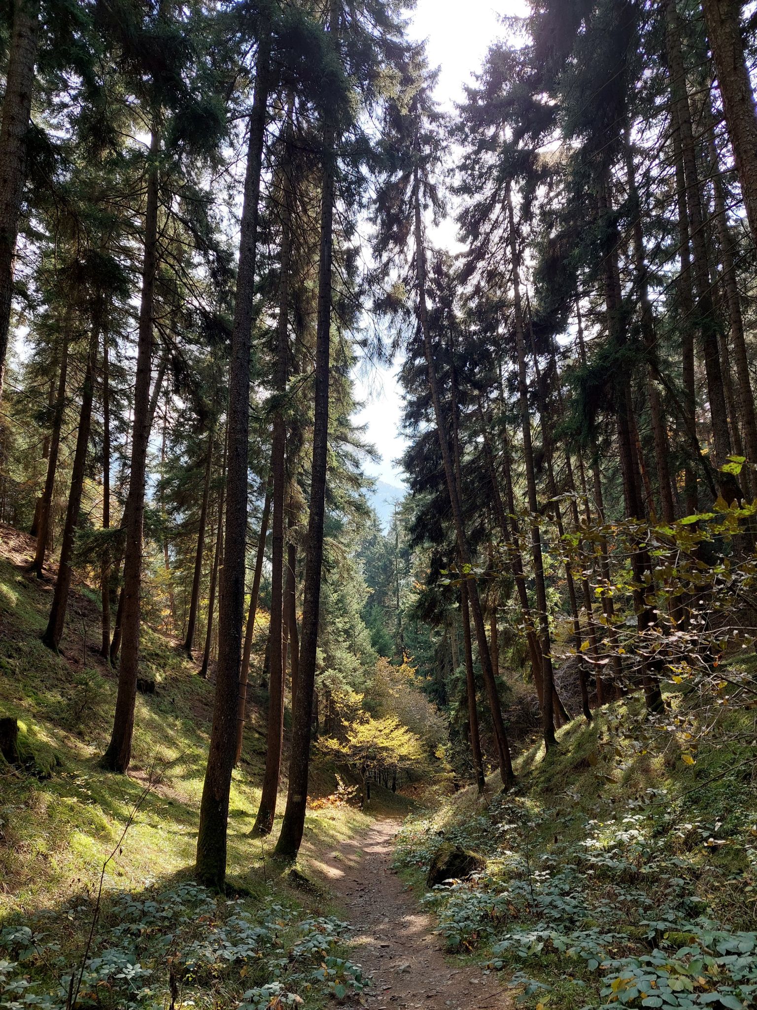
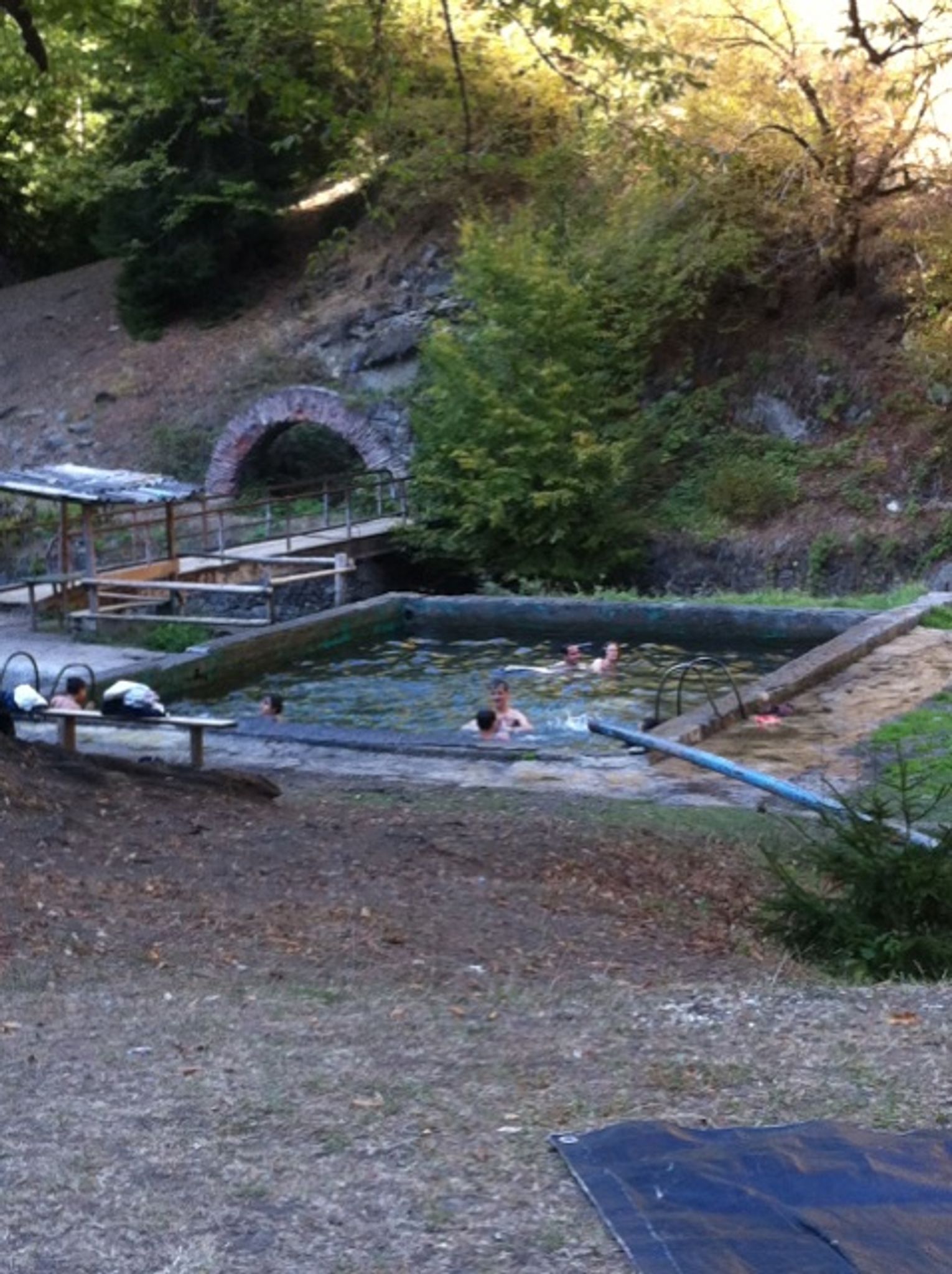
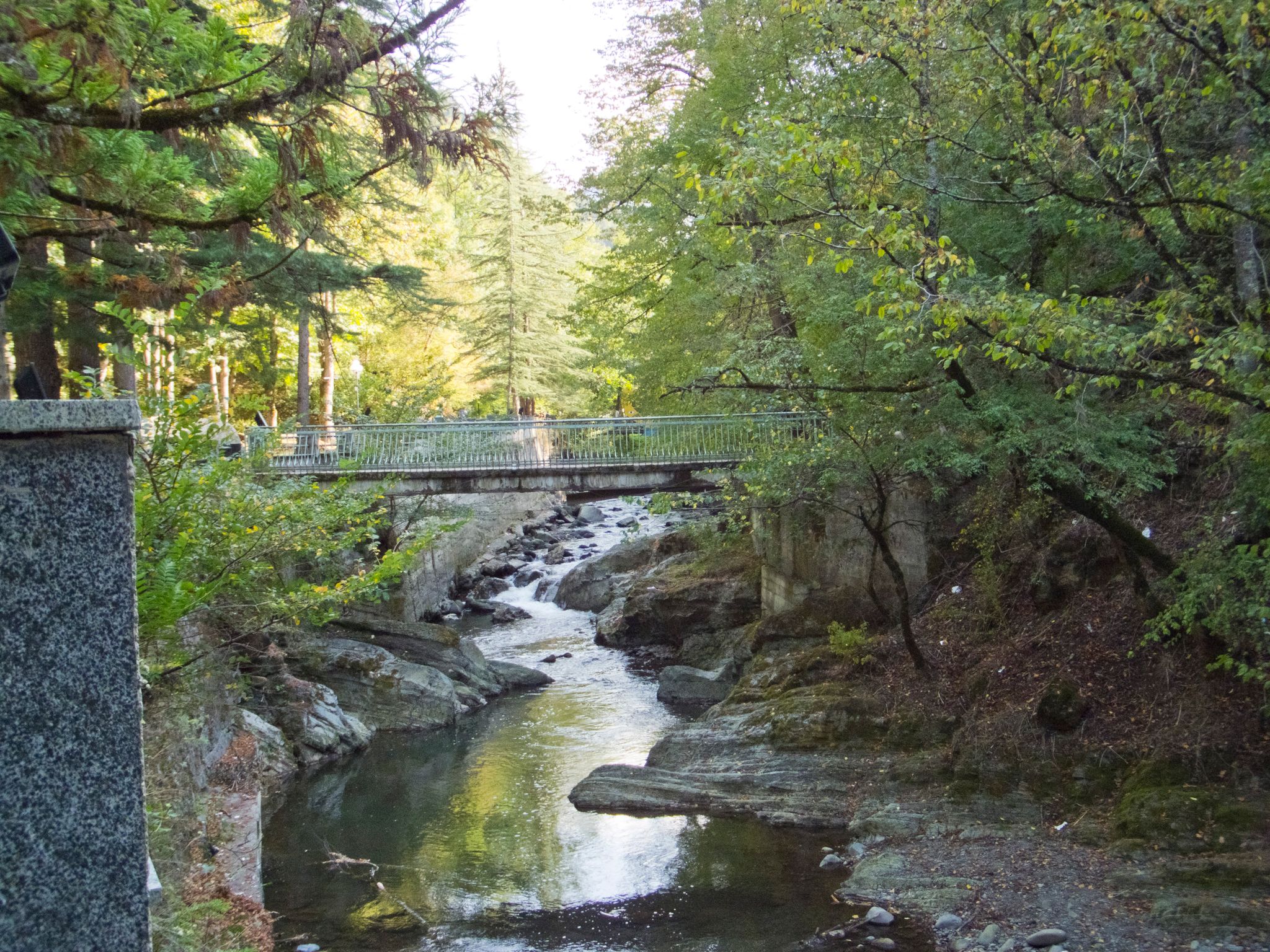
Then we go back to the starting point, turn right and cross the Kura River over the bridge. We walk along Kostava st street and then climb up along the Borjomi River for about 6-7 kilometers. The views are fascinating, the trail is excellent.
A complete list of necessary things for the hike
1. Clothing (according to the weather, indicated for the winter season / off-season)
Sneakers (trekking shoes)
Windbreaker (Windproof jacket with hood / Warm jacket)
Jacket (Sweater / Fleece jacket / Hooded Jacket)
T—shirt - 3 pcs. (thermal underwear)
Socks — 4 pairs
Ear Patch (Hat)
Sunglasses
Sunscreen / Face Protection Mask
Undershirt (mat with elastic belt for sitting on bivouac, rocks, ground)
Gloves — 2 pairs (thin fleece, warm waterproof and windproof)
windproof pants
2. Equipment
Backpack 15-30 l (for road and day trips)
Lantern
Mat (trapik, karemat)
Sleeping bag (winter)
MSBK (mug, spoon, bowl, knife)
Thermos
Trekking poles
3. Other
First aid kit (analgesic, antipyretic, bandage, iodine, alcohol, plasters, bandage for sprains)
Hygiene kit (towel, handkerchief, wet wipes, toilet paper, soap, toothbrush and paste)
Passport and medical center
Swimsuit for tanning
4. Life and food (if it is supposed to be in a tent)
Tent
Gas burner
Gas cylinders
Wire for hanging boilers
Boilers
The ladle
Can opener
Sponge, wire grater, detergent
Matches, dry alcohol, paper for ignition
Compass, GPS navigator
AA and AAA batteries
Awning for tents and equipment shelters
Cooking food (stew, buckwheat, bread, coffee)
Water (5-10 liters)


 Скачать маршрут GPX


 Поделиться

