Как добраться на общественном транспорте:
from Tbilisi — 160 km
from Batumi — 273 km
from Kutaisi — 130 km
You can get from Tbilisi by bus from Didube metro station, 8 lari ($3/ 200 r), 3 hours on the way.
From Batumi, once a day at 10.00 there is a direct bus from the old bus station (Mayakovsky, 1). On the way 5-6 hours.
Alternative option: drive from Batumi to Khashuri, 4h 30 min. Any minibus or bus going to Tbilisi will do. Get off at the ring in Khashuri and catch a minibus to Borjomi. They go often.
Electric train
The Tbilisi— Borjomi train runs four times a day, 4 hours. Check the schedule on the railway website
Старт:
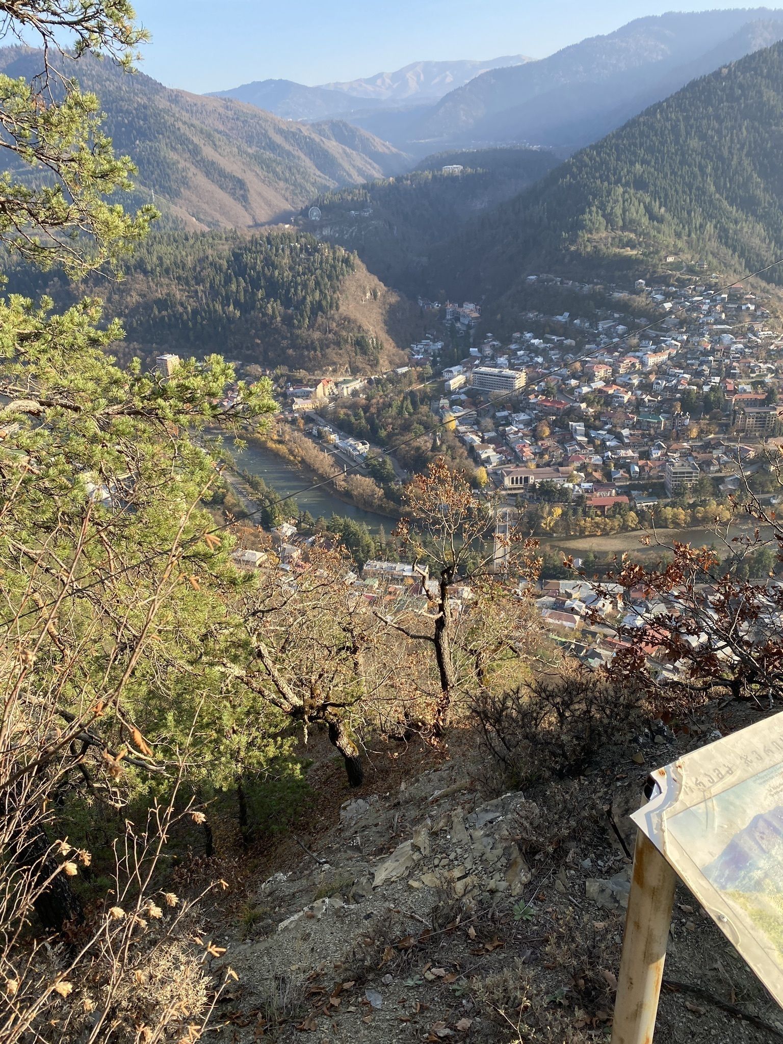
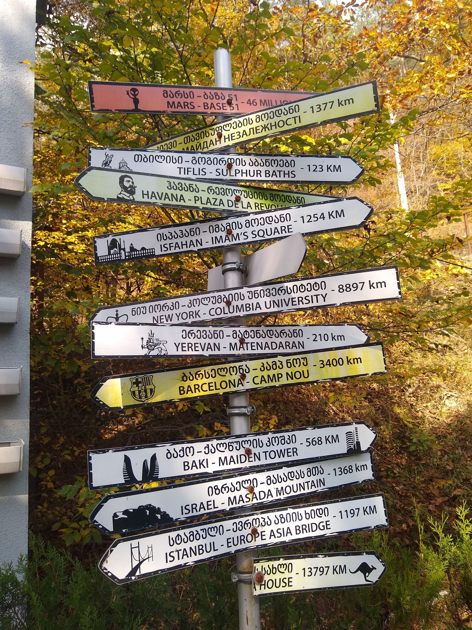
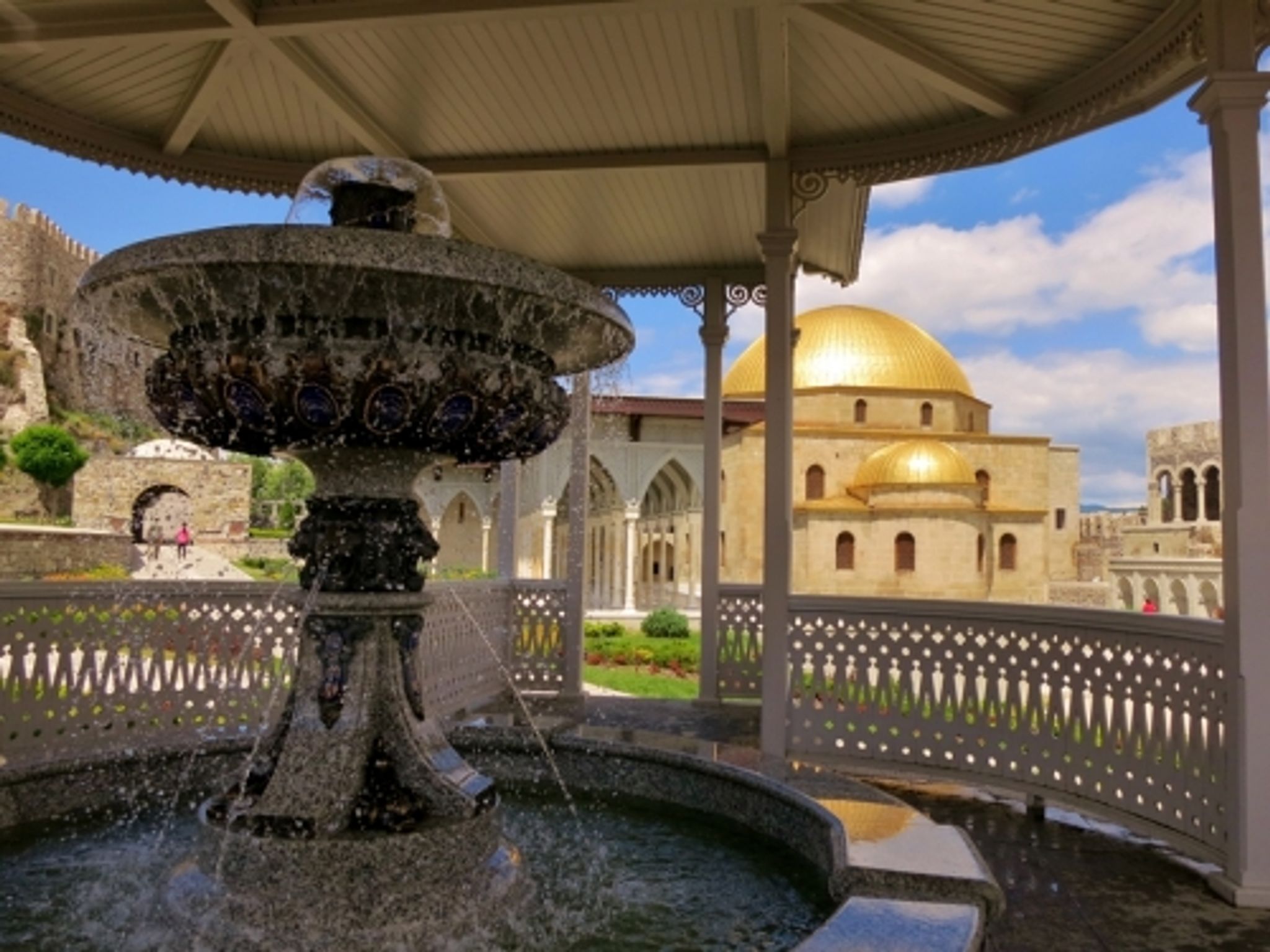
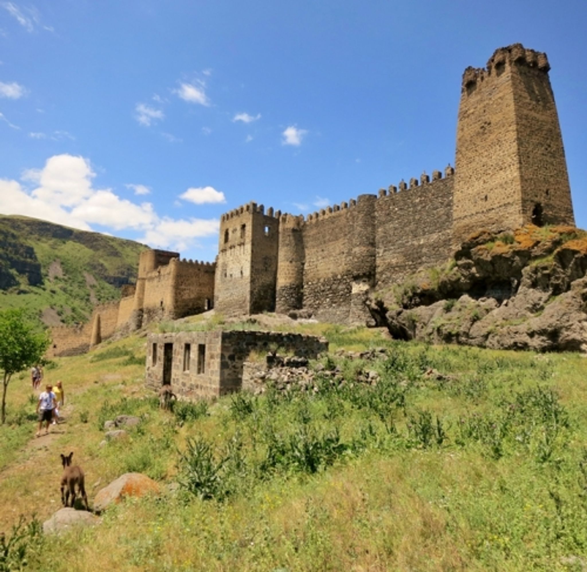
Borjomi
Детали маршрута:
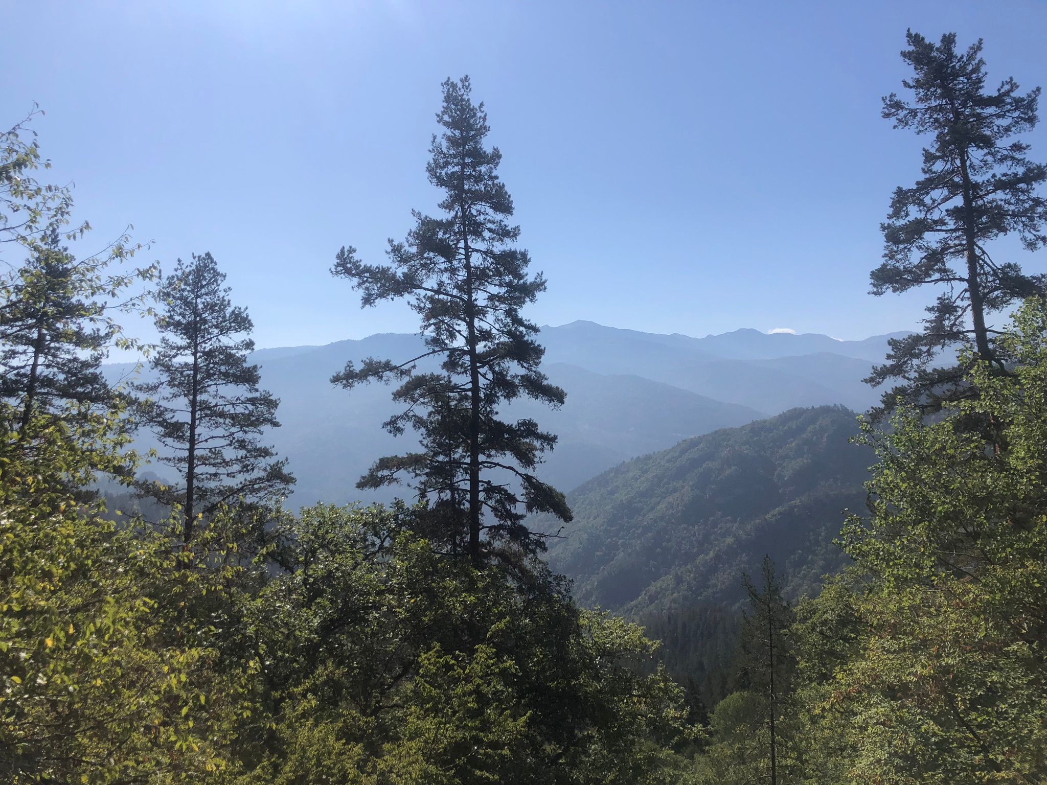
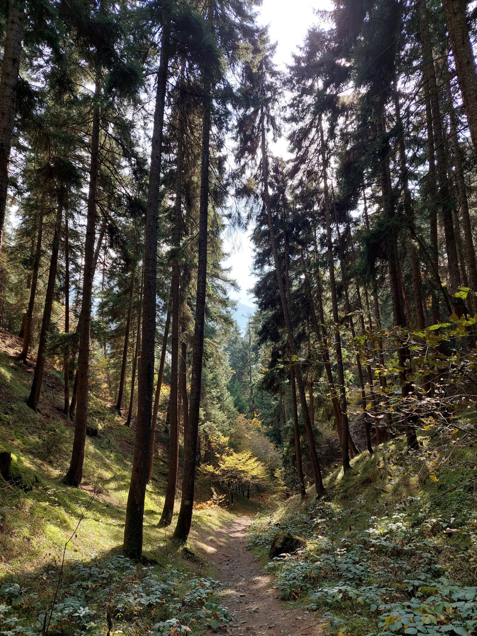
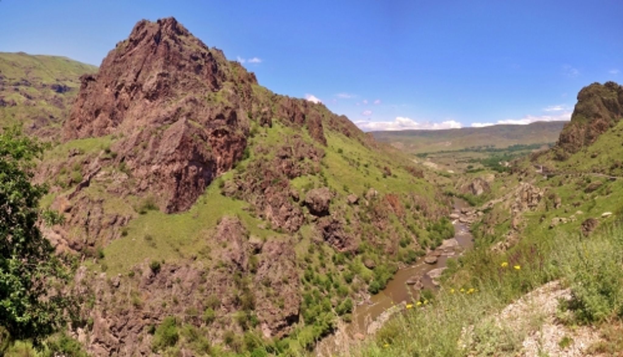
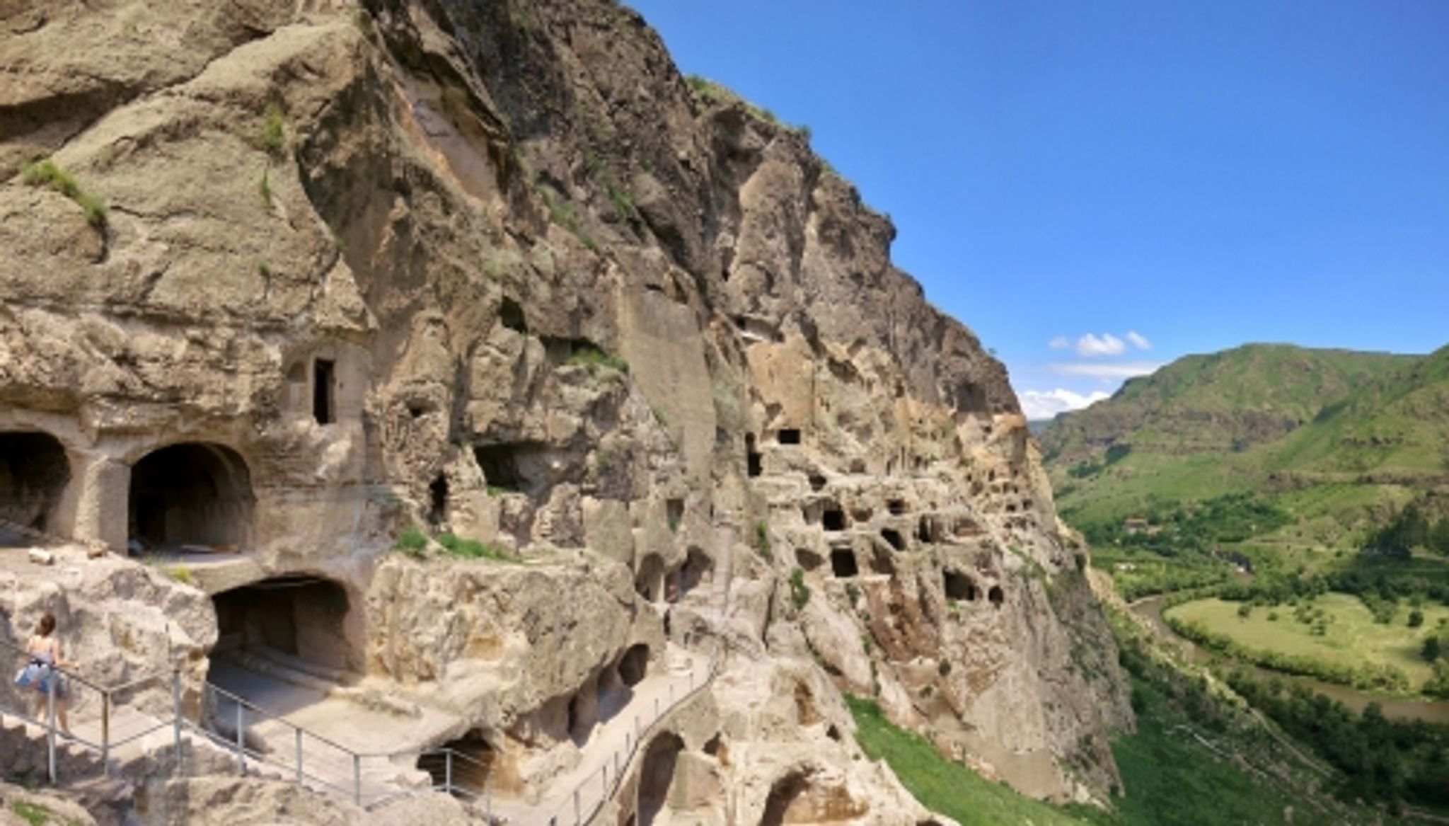
The transition is about 20 kilometers from Borjomi to Kvabiskhevi through the National Park.
Финиш:
Kvabiskhevi / Borjomi
Что взять с собой:
Good shoes, water (several liters), a snack. Sportswear, according to the weather. A detailed description of the equipment is available in the full description of the route
The full route includes a GPS track and photos from places.
Полное описание:
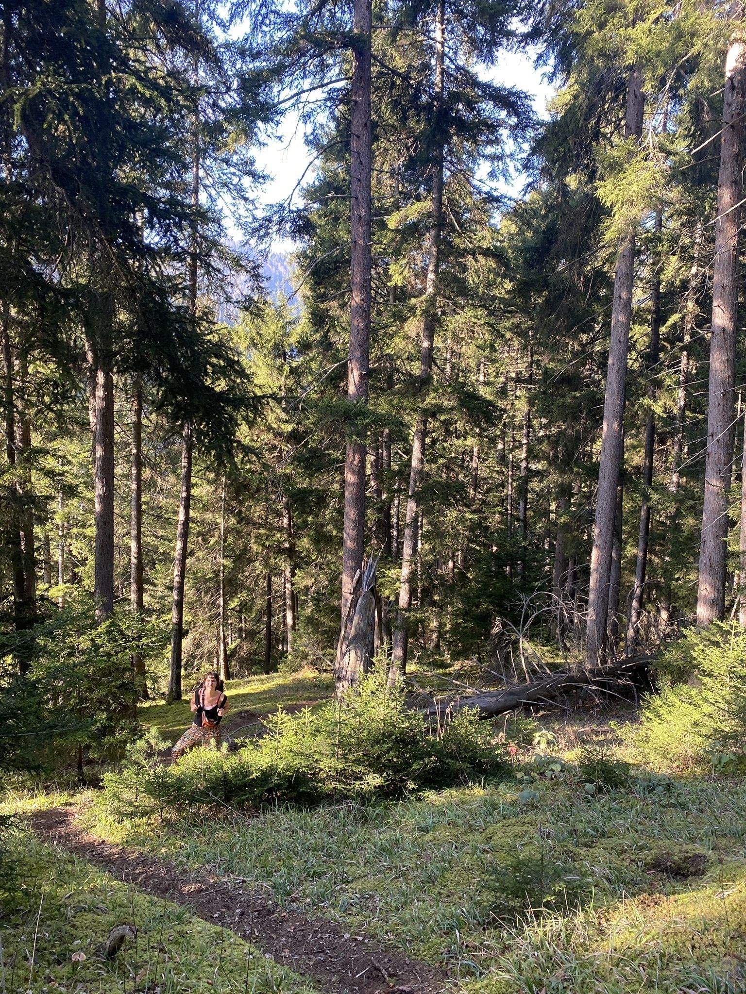
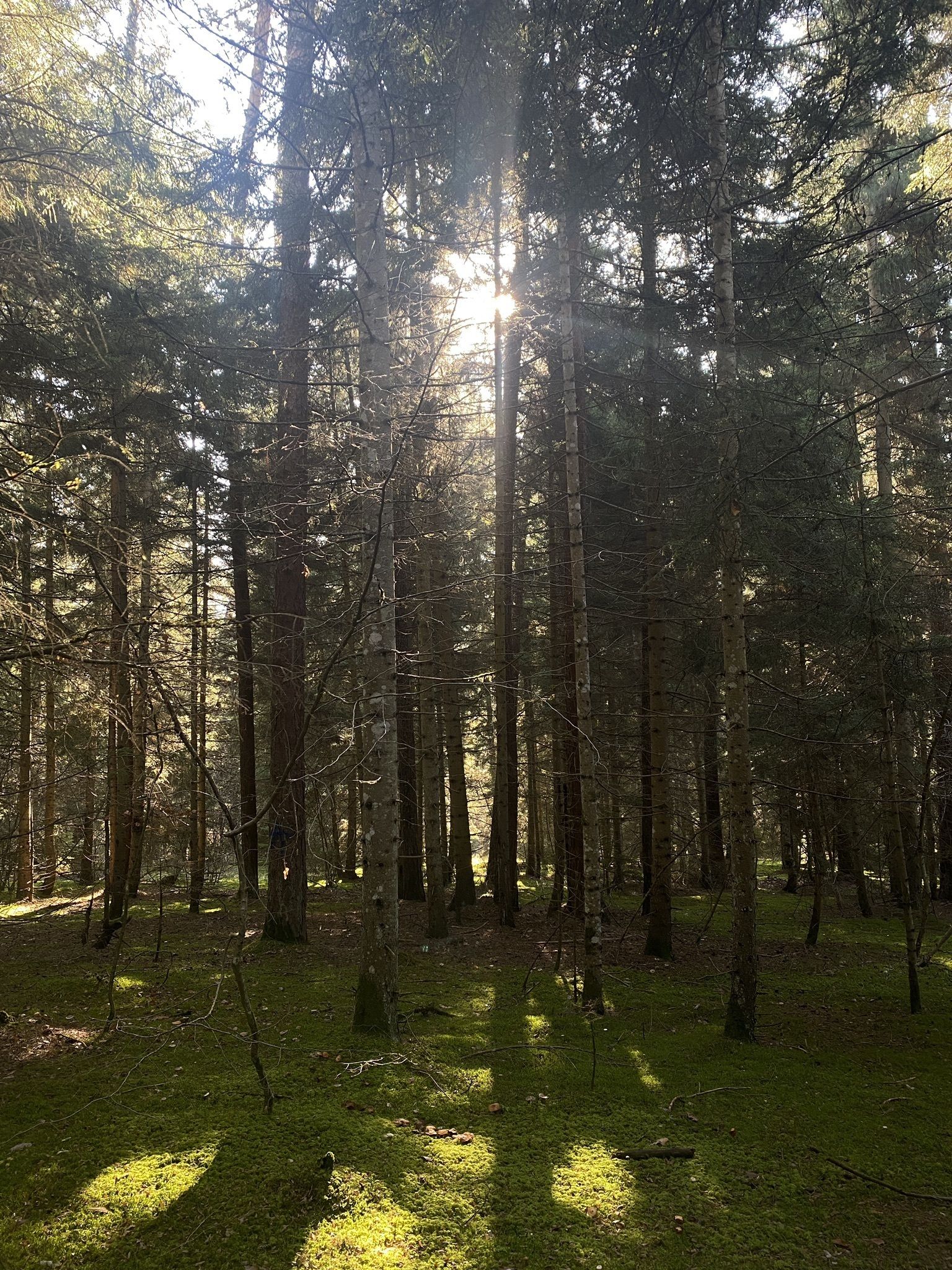
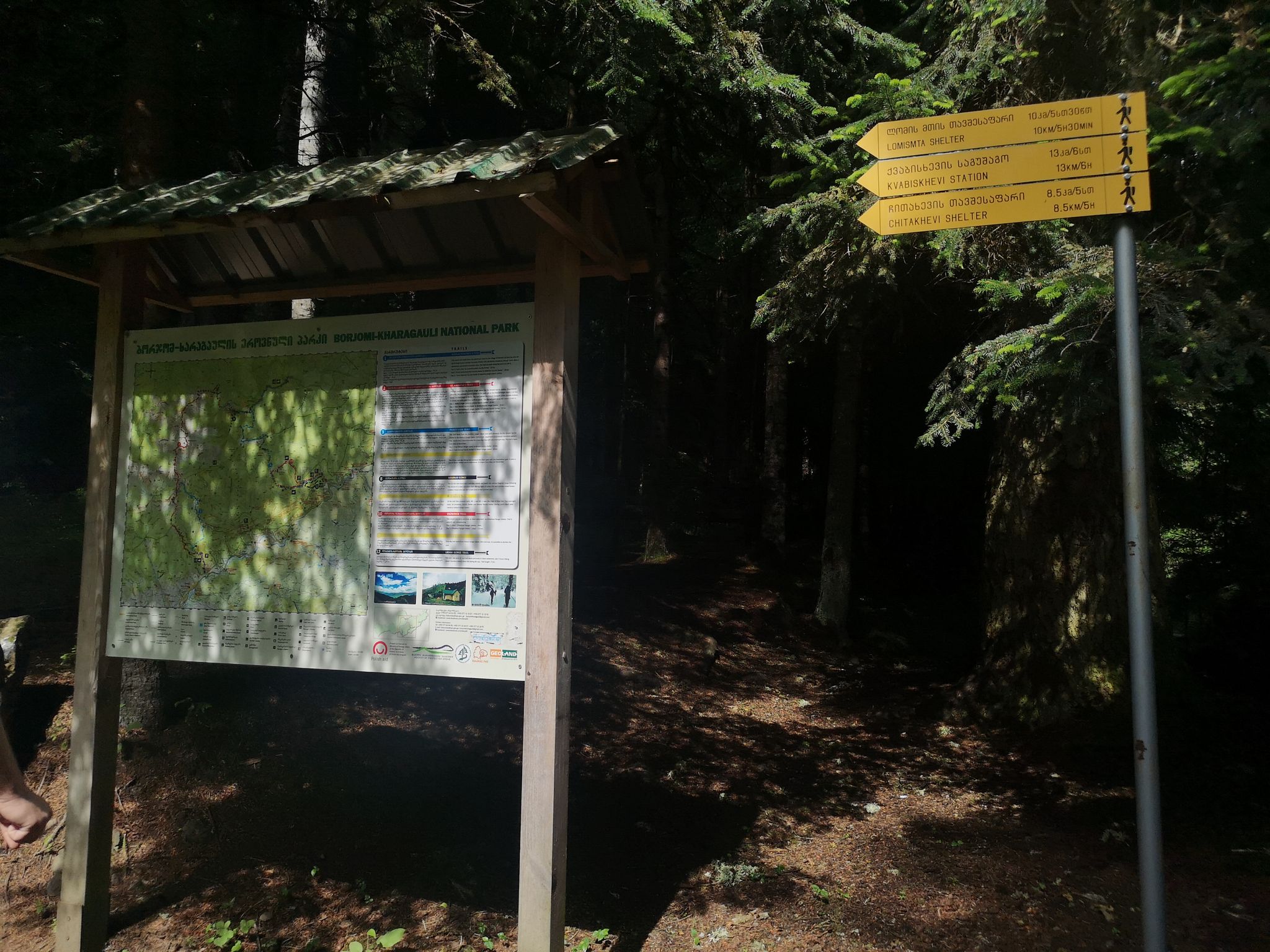
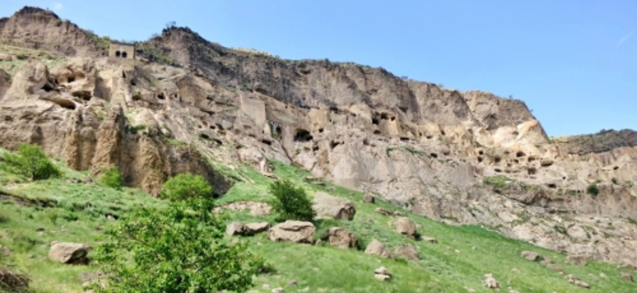
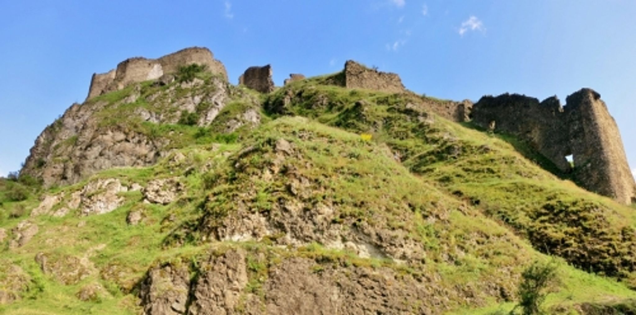
Strat in Borjomi. Then we go along the main meskheti road to the village of Likani, climb up to the camping (information center). Then we follow the trail # 1-6 along the river to the next camping / information center where we turn left and start climbing to a height of about 1800 meters. On the way we will see an old Soviet bulldozer. About 12 kilometers from route #1-6 there will be a turn to route # 1, at this point you need to turn left. From there we are already going a pleasant descent to Kvabiskhevi.
You can spend the night in a tent and come back the next day. Or leave this village by transport.
A complete list of necessary things for the hike
1. Clothing (according to the weather, indicated for the winter season / off-season)
Sneakers (trekking shoes)
Windbreaker (Windproof jacket with hood / Warm jacket)
Jacket (Sweater / Fleece jacket / Hooded Jacket)
T—shirt - 3 pcs. (thermal underwear)
Socks — 4 pairs
Ear Patch (Hat)
Sunglasses
Sunscreen / Face Protection Mask
Undershirt (mat with elastic belt for sitting on bivouac, rocks, ground)
Gloves — 2 pairs (thin fleece, warm waterproof and windproof)
windproof pants
2. Equipment
Backpack 15-30 l (for road and day trips)
Lantern
Mat (trapik, karemat)
Sleeping bag (winter)
MSBK (mug, spoon, bowl, knife)
Thermos
Trekking poles
3. Other
First aid kit (analgesic, antipyretic, bandage, iodine, alcohol, plasters, bandage for sprains)
Hygiene kit (towel, handkerchief, wet wipes, toilet paper, soap, toothbrush and paste)
Passport and medical center
Swimsuit for tanning
4. Life and food (if it is supposed to be in a tent)
Tent
Gas burner
Gas cylinders
Wire for hanging boilers
Boilers
The ladle
Can opener
Sponge, wire grater, detergent
Matches, dry alcohol, paper for ignition
Compass, GPS navigator
AA and AAA batteries
Awning for tents and equipment shelters
Cooking food (stew, buckwheat, bread, coffee)
Water (5-10 liters)


 Скачать маршрут GPX


 Поделиться

